


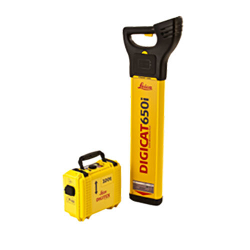
LEICA UTILITY LOCATOR

LEICA UTILITY LOCATOR Specification
- Product Type
- CABLE LOCATOR
- Voltage
- 220 Volt (v)
- Material
- MS
- Usage
- Industrial
- Power
- 300 Watt (w)
- Color
- Yellow
- Application
- Industrial
LEICA UTILITY LOCATOR Trade Information
- Minimum Order Quantity
- 1 Piece
- Supply Ability
- 10 Pieces Per Week
- Delivery Time
- 7 Days
About LEICA UTILITY LOCATOR
Save time and increase confidence in your results with the Leica ULTRA, our most advancedprecision utility tracinginstrument.
The complexity of underground utility networks is continually increasing, and obtaining precise information on the location of buried utilities has never been more important. The protection of buried assets during excavation work demands accurate mapping and surveying of existing utilities.Integrating intelligent signal processing with unique flexible operating modes, Leica ULTRA traces buried utility lines accurately for safe underground excavations and utility surveys. Outstanding performance with operational ease and flexibility.
Optimised specifically for utility tracing
- Configuration for challenging environments
Optimise the instrument to overcome the most challenging and complex site conditions. The Leica ULTRA locator can be configured for different project environments and has more than 100 programmable operating frequencies available. Programme modes can adapt the antennas to deliver improved accuracy and repeatability. - Best frequencies in congested environment
When working in congested environments, the Leica ULTRA incorporates Ambient Interference Measurement (AIM), which digitally analyses the surrounding area for noise and recommends the best frequencies for accurate utility tracing. - Trace utilities through any obstruction
There will always be an occasion when the utility runs close to or underneath an obstruction. With Offset Measuring, the Leica ULTRA locates the target line if not directly accessible from above. The function uses the available data to estimate the horizontal and vertical (depth) distance. - Transmitter to receiver link
Control the transmitter directly from the receiver with the cutting-edge communication link between the Leica ULTRA receiver and the transmitter. No more walking from the tracing line to the transmitter, simply adjust the settings automatically. - Clear operational display
Clear graphical LCD screen, with auto-pinpointing directional arrows. Ensure confident and fast tracing in all operating conditions, day or night, with the large backlit display. - GNSS & GIS integration
True one man, single-step data capture solution for buried utility mapping or surveying applications. Leica ULTRA integrates with GNSS or GIS data capture devices.
Industrial-Grade Precision
Engineered for demanding industrial environments, the Leica Utility Locator ensures high-precision detection of underground utilities. Its powerful 300 Watt output and robust MS construction help tackle challenging tasks with reliability, reducing the risk of accidental utility strikes.
Swiss Engineering and Support
Manufactured in Switzerland, the Leica Utility Locator combines technological expertise with dependable service. Distributors, importers, and service providers offer comprehensive support, ensuring that users receive maintenance and assistance throughout the products lifecycle.
FAQs of LEICA UTILITY LOCATOR:
Q: How does the Leica Utility Locator work in industrial environments?
A: The Leica Utility Locator uses advanced detection technology to locate underground cables and pipes, helping prevent costly damages during excavation. Its strong 300 Watt power ensures accurate detection even in dense, complex industrial settings.Q: What are the main benefits of using this utility locator for industrial applications?
A: This locator enhances safety, minimizes the risk of hitting underground utilities, and streamlines project timeliness. Its robust build and high voltage capability ensure reliability and durability under continuous industrial use.Q: Where can the Leica Utility Locator be used most effectively?
A: The device is specifically engineered for industrial usage, making it well-suited for factories, construction sites, and utility maintenance zones where precise identification of underground infrastructure is crucial.Q: What process should be followed to operate the Leica Utility Locator?
A: To use, turn on the device and select the appropriate detection mode. Move the locator methodically over the ground while monitoring the indicators. Results should be interpreted per the user manual for optimal accuracy and safety.Q: When is it advisable to use the Leica Utility Locator?
A: It is recommended to use this device before any excavation, drilling, or groundwork begins to mitigate subsequent risks of damaging unseen underground utilities.Q: Who supplies and services the Leica Utility Locator for industrial clients?
A: As a distributor, importer, service provider, supplier, and trader, reputable institutions offer full support for the Leica Utility Locatorincluding installation, training, and maintenanceensuring efficient and continuous operation for industrial users.- Minimum Order Quantity
- 1 Piece
- Supply Ability
- 10 Pieces Per Week
- Delivery Time
- 7 Days
 Get Latest Price
Tell us about your requirement

Price:
Quantity
Select Unit
- 50
- 100
- 200
- 250
- 500
- 1000+
Additional detail
Mobile number
Email

More Products in SURVEYING SOLUTIONS Category
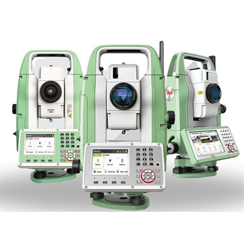
SURVEYING SOLUTIONS
Minimum Order Quantity : 1 Piece
Product Type : SURVEYING SOLUTIONS
Usage : Survey
Color : Green And White
Operate Method : Automatic
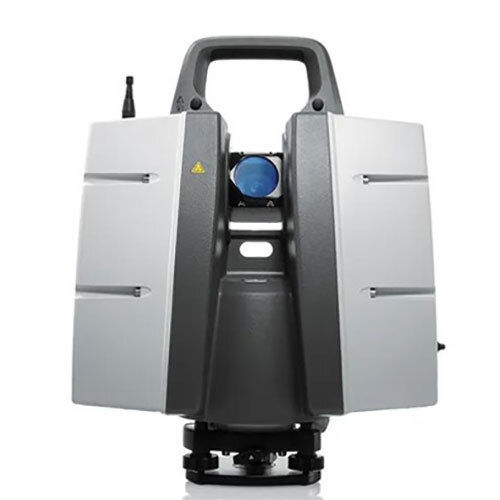
3D LASER SCANNER
Minimum Order Quantity : 1 Unit
Product Type : 3D LASER SCANNER
Usage : Survey
Color : Gray/Black
Operate Method : Automatic
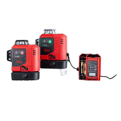
LINE LASER
Minimum Order Quantity : 1 Piece
Product Type : LINE LASER
Usage : Survey
Color : Red
Operate Method : Automatic

Quick Inquiry


Contact Details
K. K. SALES
GST : 24ADHPA9722H1ZR
GST : 24ADHPA9722H1ZR
No. B-14&15, Circle-b, Complex, Near Pakwan2, Sg Highway, Bodakdev, Ahmedabad - 380015, Gujarat, India
Phone :07971549272

 |
K. K. SALES
All Rights Reserved.(Terms of Use) Developed and Managed by Infocom Network Private Limited. |
